
If you are drawn to space, quiet, and the kind of outdoor living that starts right outside your gate, La Cresta stands apart. This is not a neighborhood where trails feel like an afterthought or a small amenity tucked behind a park. In La Cresta, the land, the roads, and the open-space setting shape daily life in a very real way. If you are considering buying or selling here, it helps to understand how the trail network and outdoor lifestyle actually work. Let’s dive in.
Why La Cresta Feels So Secluded
La Cresta sits on the Santa Rosa Plateau, west of Murrieta in the Santa Ana Mountains. Riverside County planning materials describe the area as a landscape of rolling hills, steep slopes, and valleys, with access concentrated through Clinton Keith Road and De Luz Road. That road pattern helps explain why the community feels tucked away while still connected to the Murrieta and Temecula foothills.
That sense of separation is also tied to how the area is planned. The county’s Southwest Area Plan says the Santa Rosa Plateau and De Luz Policy Area is intended to preserve rural and natural character, limit grading, and protect the ecological reserve. The plan also allows development at an average density of one dwelling unit per five acres, which supports the spacious, acreage-driven feel many buyers notice right away.
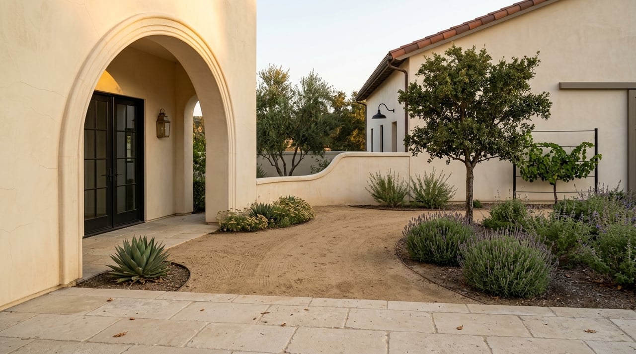
This is one reason La Cresta feels different from a conventional subdivision. County planning documents specifically reference residential equestrian estates and ranches as part of the landscape. The result is a setting where natural terrain remains a major part of the experience, rather than something fully reshaped around dense housing.
How La Cresta’s Trail Network Works
One of the most important things to know is that La Cresta’s trail system is not the same as a typical public trail network. According to the community’s governing documents, the association exists to maintain private roads, drainage improvements, slope easements, temporary water facilities, and fire-protection retreat areas. Those same documents also note that many multi-purpose trails are located within the LCPOA road easement.
That matters because roads, driveways, and trail corridors often work together here. In practical terms, the trail experience can feel woven into the parcel layout rather than separated into a stand-alone recreation feature. For buyers, that means trail access may be tied to private easements and community infrastructure, not just a public map.
The architectural guidelines reinforce that equestrian use is built into the community design. They reference horse-friendly driveway placement and surfacing, along with privacy-conscious siting. So when you look at a property in La Cresta, the layout is often about more than the home itself. It can also reflect how the site functions for movement, access, and outdoor use.
Private Trails vs Public Open Space
This distinction is where many buyers need clarity. In La Cresta, neighborhood trail access may be part of a private HOA easement, while the nearby Santa Rosa Plateau Ecological Reserve is a separate public destination. Those are two different systems, and understanding the difference can help you evaluate how a property fits your lifestyle.
The reserve is a major open-space anchor for the area, not a small local park. County and park sources describe it at roughly 8,200 to 9,000 acres. That scale is part of what gives La Cresta its strong connection to nature and open land.
For day-to-day living, this creates a layered outdoor experience. You may have residential trail access tied to easements and private roads, while also having a large public reserve nearby for broader recreation. It is that combination that helps define La Cresta’s identity.
What Outdoor Life Looks Like Here
In La Cresta, outdoor life is not built around clubhouses, dense recreation centers, or heavily programmed shared amenities. Instead, the lifestyle is shaped by open space, low-traffic country roads, and the plateau’s natural terrain. That makes the rhythm of the area feel quieter and more grounded in the land itself.
The nearby Santa Rosa Plateau Ecological Reserve offers interpretive programs and trail walks. Riverside County also notes that horseback riding and mountain biking are popular in the Sylvan Meadows Multi-Use Area. The reserve map shows trailheads, dirt roads, and multi-use trails, which gives you a sense of how varied the terrain can be.
The landscape has noticeable elevation change as well. Monument Hill is marked at 2,046 feet, which is a useful reminder that this is not flat suburban ground. Walks and rides here tend to feel scenic and natural, with changing views and terrain that shift with the season.
A Landscape Shaped by Nature
Part of La Cresta’s appeal is the scenery itself. The reserve protects Engelmann oak woodlands, riparian wetlands, coastal sage scrub, chaparral, bunchgrass prairie, and vernal pools. That mix gives the plateau a natural, seasonal character that feels distinct from more manicured residential areas.
For many buyers, this is the real luxury. You are not just getting square footage or a view lot. You are stepping into a place where open space is a defining feature of daily life, and where the surrounding environment still plays a visible role in the experience of home.
That can also shape how sellers position a property. In La Cresta, the story is often about setting, access, and land use just as much as interior finishes. Buyers paying attention to this market usually want to understand how a property connects to the broader outdoor lifestyle.
What Buyers Should Look At Closely
If you are shopping in La Cresta, it is smart to go beyond a simple question like, “Does this property have trail access?” A better question is how that access works, who maintains it, and whether the parcel layout supports your goals. Those details can vary from one property to the next.
A few issues deserve close attention:
- Whether trail access is part of a private HOA easement or separate from the parcel
- Who maintains the relevant road or trail segment
- How the driveway, access points, and site layout function for horses or other outdoor uses
- Whether the property’s placement and design support the level of privacy you want
- What parcel-specific easements or zoning conditions apply
For parcel-level confirmation, Riverside County provides the Map My County zoning and parcel information tool. It is the right place to review parcel-specific maps, zoning, easements, and related details before assuming one lot works the same way as a nearby property.
What Sellers Should Understand
For sellers, La Cresta’s outdoor lifestyle is more than a nice talking point. It is often central to how buyers evaluate value. The strongest listings usually help buyers understand not just the home, but also the land, circulation, usable outdoor features, and relationship to the broader trail and open-space setting.
That is especially true for equestrian estates, ranch properties, and other acreage homes where access and function matter. A property may be appealing because of its setting on the plateau, its relationship to private trail easements, or how naturally the site supports horses, privacy, and outdoor living. Those are details worth presenting clearly and accurately.
This is where local knowledge matters. In a market like La Cresta, buyers often have questions that go deeper than finishes and floor plans. They want to understand how the property works in the real world, and whether its outdoor setup aligns with the lifestyle they are pursuing.
Why Local Guidance Matters in La Cresta
La Cresta rewards careful due diligence because the area is shaped by topography, low-density planning, private infrastructure, and nearby protected open space. Two properties can feel similar at first glance but differ in easements, access patterns, or how the site supports equestrian and outdoor use. That is why a close, property-specific review is so important.
For buyers, that means asking the right questions early. For sellers, it means presenting the property with a clear understanding of what makes it function well and what makes it distinctive in the market. In a community like this, the outdoor lifestyle is not separate from real estate value. It is part of the value.
If you are considering a move in La Cresta, working with someone who understands trail access, zoning context, parcel layout, and the plateau’s acreage lifestyle can make the process much smoother. For a private consultation about buying or selling in La Cresta, connect with Andrea Lynn Duncan.
FAQs
How does trail access work in La Cresta properties?
- Many multi-purpose trails are located within LCPOA road easements, so access may be tied to private roads and community easements rather than a separate public trail system.
What is the difference between La Cresta trails and the Santa Rosa Plateau Ecological Reserve?
- La Cresta neighborhood trails may be part of private easements, while the Santa Rosa Plateau Ecological Reserve is a separate public open-space area with its own trails, rules, and hours.
What outdoor activities are common near La Cresta?
- Riverside County notes that horseback riding and mountain biking are popular in the reserve’s Sylvan Meadows Multi-Use Area, and the reserve also offers interpretive programs and trail walks.
What rules apply at the Santa Rosa Plateau Ecological Reserve trails?
- The reserve’s trail hours are 7:00 a.m. to 6:00 p.m., and dogs are not allowed on the trails.
What should buyers verify before assuming a La Cresta parcel has usable trail access?
- Buyers should confirm parcel-specific zoning, easements, and map details through Riverside County’s parcel information tools rather than assuming neighboring properties share the same access or layout.
Why does La Cresta feel more private than a typical subdivision?
- Its rolling terrain, limited access roads, low-density planning, and large surrounding open-space areas all contribute to a more secluded acreage-community feel.