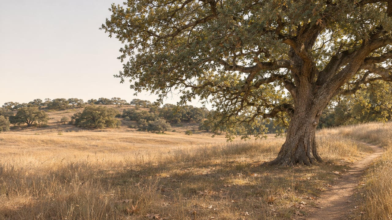
In the 1880s, Murrieta had a standing invitation each spring. Parker Dear owned the Santa Rosa Ranch on the plateau, and every year he brought the town up the hill for a May Day barbecue near his 14-room mansion. The Press-Enterprise columnist who retold that story in 2013 had just hiked to the two adobes beside the old house site. He wrote that if you know where to look, you can still find remnants of the mansion, which burned in the 1970s.
The mansion is gone. The Moreno adobe, dated to 1846, and the Machado adobe, dated to 1855, still stand side by side on the reserve, and the Press-Enterprise counts them among Riverside County's oldest standing structures. Their history also explains why the land next to La Cresta is a reserve. Over about a hundred years, a town, a cattle empire, an airport idea and a round of development proposals each had a turn at this plateau. The adobes outlasted every one of them, and each failed plan left more of the land open.
A town site that went bust in 1890
Parker Dear was not content to run cattle. In 1887 his Santa Rosa Land & Improvement Company laid out a 400-acre town site called Linda Rosa, and the company spent tens of thousands of dollars on a post office, a hotel and a depot. The land boom collapsed by 1890 and Dear went bankrupt. That account comes from a Murrieta Public Library Heritage Room collection built from material the Murrieta Valley Historical Society shared.
The reserve today covers roughly 9,000 acres, so Linda Rosa's 400 acres would have been a small piece of it. Still, it was the first time anyone tried to turn the plateau into a place where people would live in numbers, and the plateau's first answer was no.
A bank, then the Vails, then six decades of cattle
Receivership proceedings on Dear's ranch began in 1893. The San Francisco Savings Union Bank took the property, formed the Santa Rosa Cattle Company and put J. W. Knight in charge as foreman. According to the Heritage Room collection, in 1895 Knight's wife, Annie, cooked for the Santa Rosa Ranch for $15 a month.
Walter L. Vail bought the Santa Rosa Ranch in 1904 and 1905, along with Rancho Pauba, Rancho Temecula and the northern half of Rancho Little Temecula. Together they made an 87,000-acre cattle operation. Vail died in 1906, and his family ran the ranch for nearly six more decades. RivCoParks says the adobes served as cowboy bunkhouses. The 2013 Press-Enterprise columnist stood at their windows and pictured cowhands bunking there after the Vails bought the place in 1905.
For about 60 years under the Vail family, the land changed very little. The Press-Enterprise says the plateau was used for grazing from the time the adobes were built until the mid-1960s.
What the plateau almost became after 1964
In 1964 the Vail family sold the ranch for $21 million, and planning began for what was called Rancho California. That community was renamed Temecula in 1989. The Heritage Room collection names Kaiser Steel as the buyer. A 2011 Press-Enterprise look back at the Vail Ranch describes a buying group that included Kaiser companies and Macco Realty.
After the cattle left, the plateau was "briefly under consideration as the site of an international airport," the Press-Enterprise reported, and was "then eyed by some for homes, shops and other development." The airport never came. Large-lot rural living did, during the same years. The La Cresta Property Owners Association was formed as a nonprofit in 1969 and incorporated in 1989. Today it covers 887 parcels on about 5,878 acres, with a minimum of roughly five acres.
The plateau drew one famous rancher in this period. While he was governor, Ronald Reagan bought a 750-acre ranch in the Tenaja Valley in the late 1960s, and he and Nancy Reagan owned it for more than a decade, according to a 2012 City News Service report on Patch. When a 30-acre piece of that ranch was listed in 2012, it included a regulation-size polo field with two grandstands, a five-acre seasonally fed lake, nine corrals and three wells. That is horse country, with polo fields, corrals and wells, and it took root on the plateau in the same decade the land came out of the Vail family's hands.
1984, when the fences started keeping cattle out
The Nature Conservancy bought the first 3,100 acres of what became the Santa Rosa Plateau Ecological Reserve in 1984. Writing for the Los Angeles Times in 1992, a reporter noted that the plateau was still ringed by miles of fencing, which now had the opposite job: "their purpose is to ensure that cattle never get in." The Times wrote that cattle had grazed the land for nearly 200 years and were "ousted forever" with the Conservancy's purchase.
The Times article explains the reason too. A Conservancy ecologist told the paper the plateau was a priority purchase because it held "the largest number of endangered natural communities in one place in the entire state," including oak woodland, native grassland and sycamore-alder streambeds. About half the oaks are Engelmann oaks, and the paper reported that the reserve held the world's last protected reproducing stand of them.
In 1991 the Conservancy added 3,825 acres through a cooperative arrangement with Riverside County and state wildlife agencies, and a visitor center and parking lot were planned for the new section. The reserve now has four owners: the California Department of Fish and Wildlife, Riverside County, the Metropolitan Water District of Southern California and The Nature Conservancy. The Heritage Room collection also notes that it is registered as a California Historical Landmark.
The La Cresta association covers about 5,878 acres of private five-acre parcels, and the reserve next to it has grown to roughly 9,000 acres of protected land. Both came out of the end of the cattle era, within about 15 years of each other. The proposed airport, the shops and the other development the Press-Enterprise described were never built on the plateau, and the protected oak woodland and grassland now run right up to La Cresta's own trail network.
Finding the history on the ground this winter
The adobes are the place to start. In the 2013 Press-Enterprise account, the columnist started at the Hidden Valley trailhead on Clinton Keith Road, about a mile past the visitor center, walked 2.2 easy miles to the adobes and came back mostly on the Trans Preserve Trail. RivCoParks' 2026 trail map lists the Adobe Loop at 1.2 miles, the Vernal Pool Trail at 1.7 miles and the Trans Preserve Trail at 1.89 miles.
Call before you go. After the Volcano Fire in July 2026, which CAL FIRE recorded at 138 acres near Via Volcano and Tenaja Road, our late-summer plateau field guide reported the Vernal Pool Trail and Adobe Loop access from Via Volcano closed. The visitor center at 39400 Clinton Keith Road can tell you which approaches are open on the day you plan to hike. The 2026 trail map lists admission at $6 for adults and $3 for youth, with winter trail hours of 7 a.m. to 4:30 p.m. That is an hour and a half shorter than summer, and on a 2.2-mile walk with stops at the adobes, the earlier close matters.
The visitor center's fall calendar has one program on the plateau's past this month, though it covers the rocks and not the ranchers. The one-hour geology program "Unearthing the Past" runs Saturday, Nov. 21, from 2 to 3 p.m. at the Santa Rosa Plateau Visitor Center.
The Vail story continues down the hill. In Temecula, the Vail Ranch Headquarters historic park keeps the 1867 Wolf Store adobe, which is Temecula's oldest standing building, along with other original ranch structures. Its preservation is largely the work of the Vail Ranch Restoration Association. On a winter afternoon you can visit the plateau's adobes and the Wolf Store and see two surviving pieces of the 87,000-acre operation Walter Vail put together between 1904 and 1905, one on the plateau and one in Temecula.
Plateau land carries its history in deeds, old ranch roads and wells that predate the houses beside them. If you own acreage in La Cresta or the Tenaja Valley and want to know what your parcel's past means for its future, Andrea Lynn Duncan has lived in La Cresta for more than 15 years and would be glad to talk it through. Call me for a private consultation.